Logo Luftbilddatenbank


Air-photo search


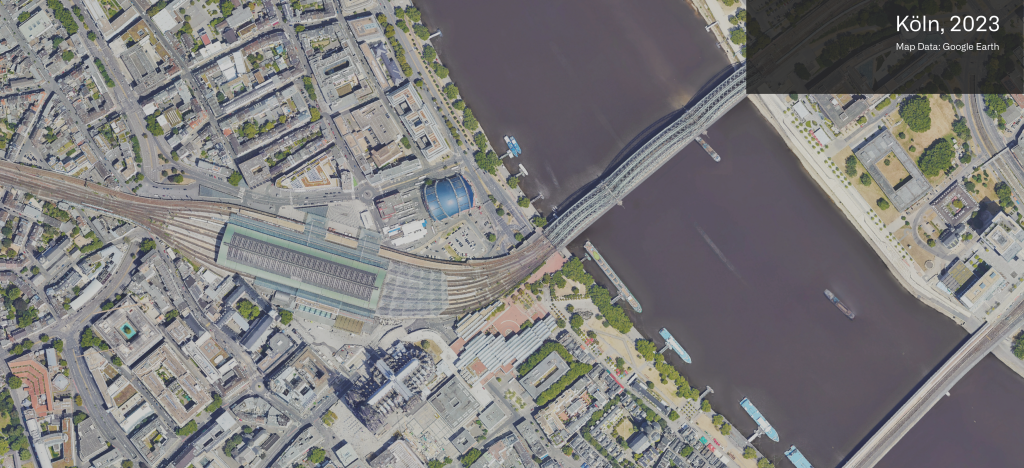
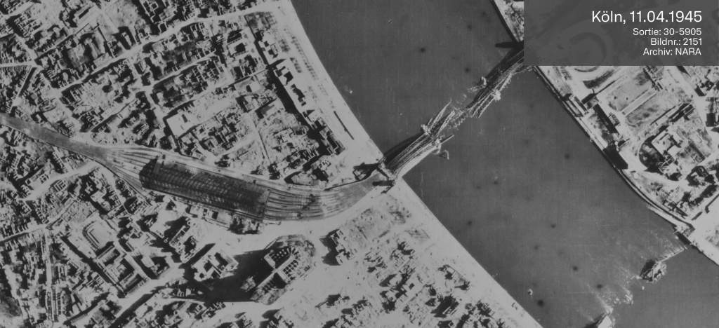
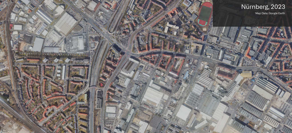
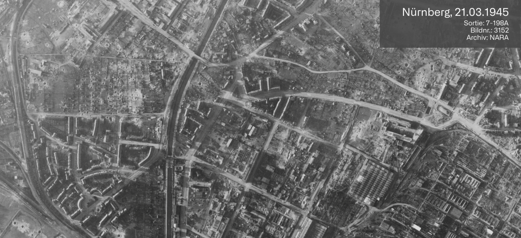
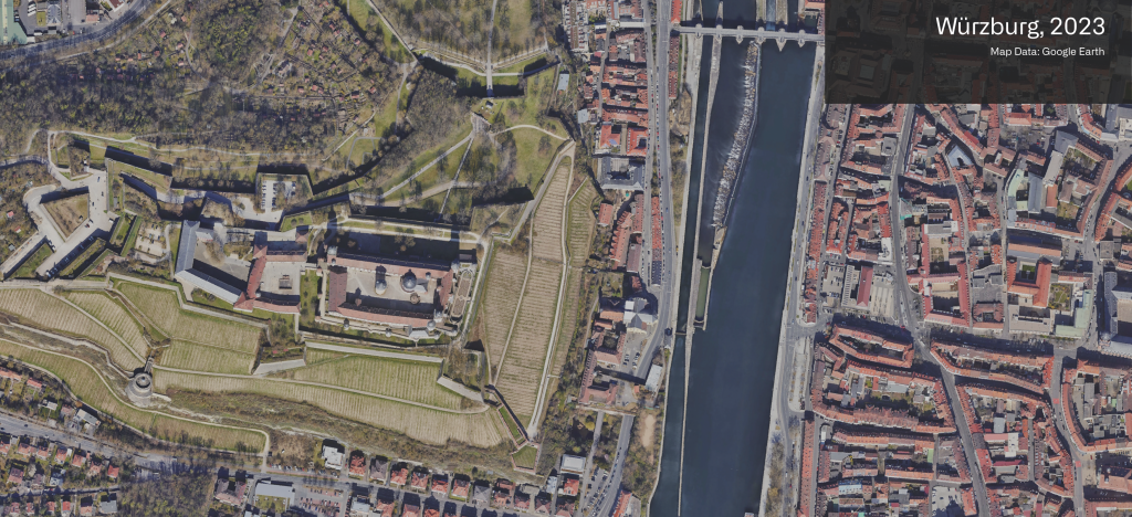
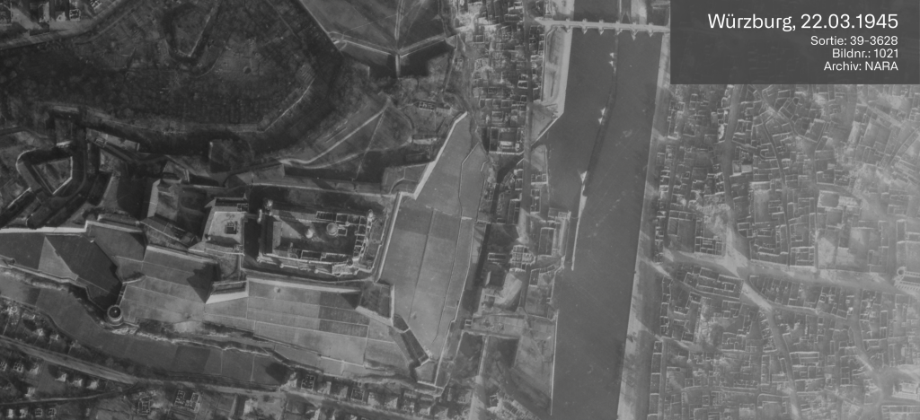
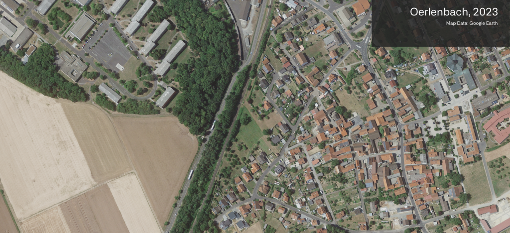
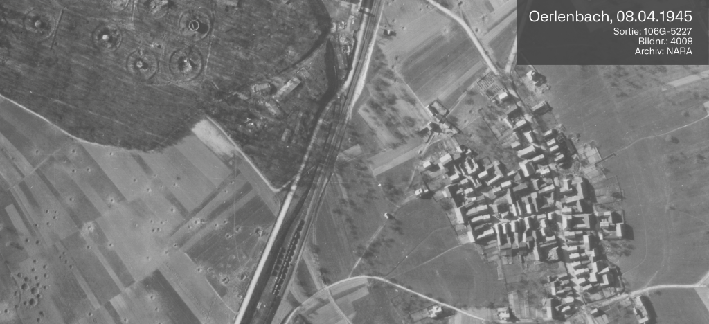
Historical air-photo search by Luftbilddatenbank is professional, fast and comprehensive...


Thanks to our own air-photo archive and databanks, rapid procurement of historical aerial photographs by pin-point search.
Project-oriented optimal air-photo coverage for remote detection of potential military ordnance and industrial contaminated sites.
Site-related air-photo search with, in addition to our own stocks, direct access to about 4 mio. historical air-photos of international archives.

Focussing on Germany, Austria and the Netherlands, but in special cases also worldwide.

Digital positioning of aerial photographs enables a fast and comprehensive search with our Air-Photo Information System (Luftbild-Informationssystem LUIS). In this system the geographical coordinates are stored of about 4 million aerial photographs from the years 1938 to 1955.


As necessary the pictures will be processed through digital image processing by professional software as ArcGIS, ERDAS IMAGINE and ENVI:


  • polynomial single picture rectification
  • creation of Orthophotos (differential rectification)
  • spatial image-combination (creation of mosaics)

LUFTBILDDATENBANK DR. CARLS GMBH |  +49 (0) 9305 90 00 20  |  LEGAL NOTICE  & DATA PRIVACY |  HISTORICAL AIR-PHOTOS  |  AIR-PHOTO ANALYSIS |  MILITARY ORDNANCE SURVEYS

SITE BY 3WM