Luftbilddatenbank – Kampfmittelvorerkundung & Luftbildrecherche
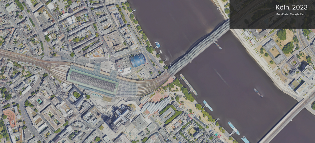
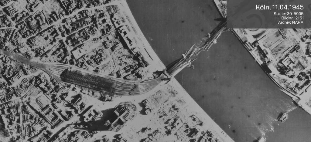
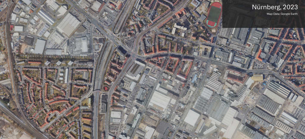
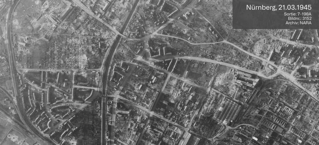
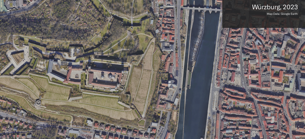
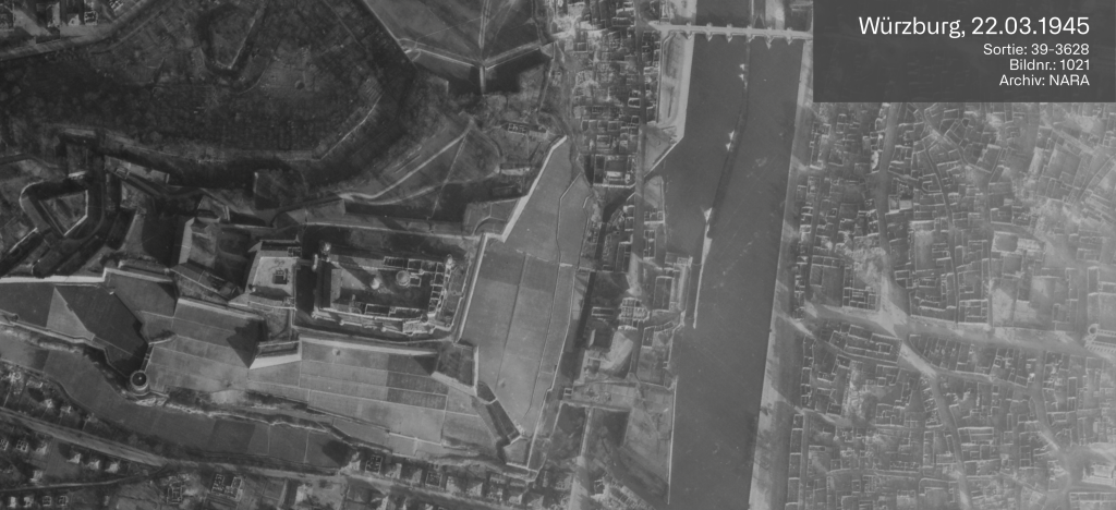
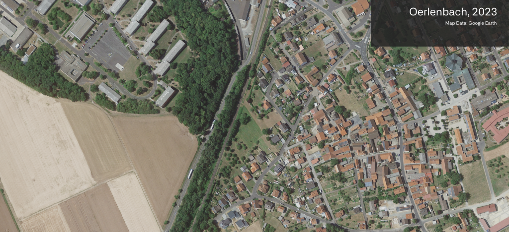
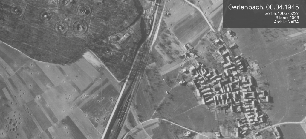
Wir gewährleisten Planungssicherheit bei Ihren Bauvorhaben.
Broschüre
Laden Sie sich unsere Broschüre herunter und erhalten Sie weitere Informationen.
file_downloadKontakt
Wir sind für Sie jederzeit über unser Kontaktformular oder auch telefonisch zu unseren Geschäftszeiten erreichbar.
arrow_forwardKontakt
Luftbilddatenbank Dr. Carls GmbH
Sieboldstraße 10
D-97230 Estenfeld